The Great Himalayan Traverse - India
The Great Himalayan Traverse - India
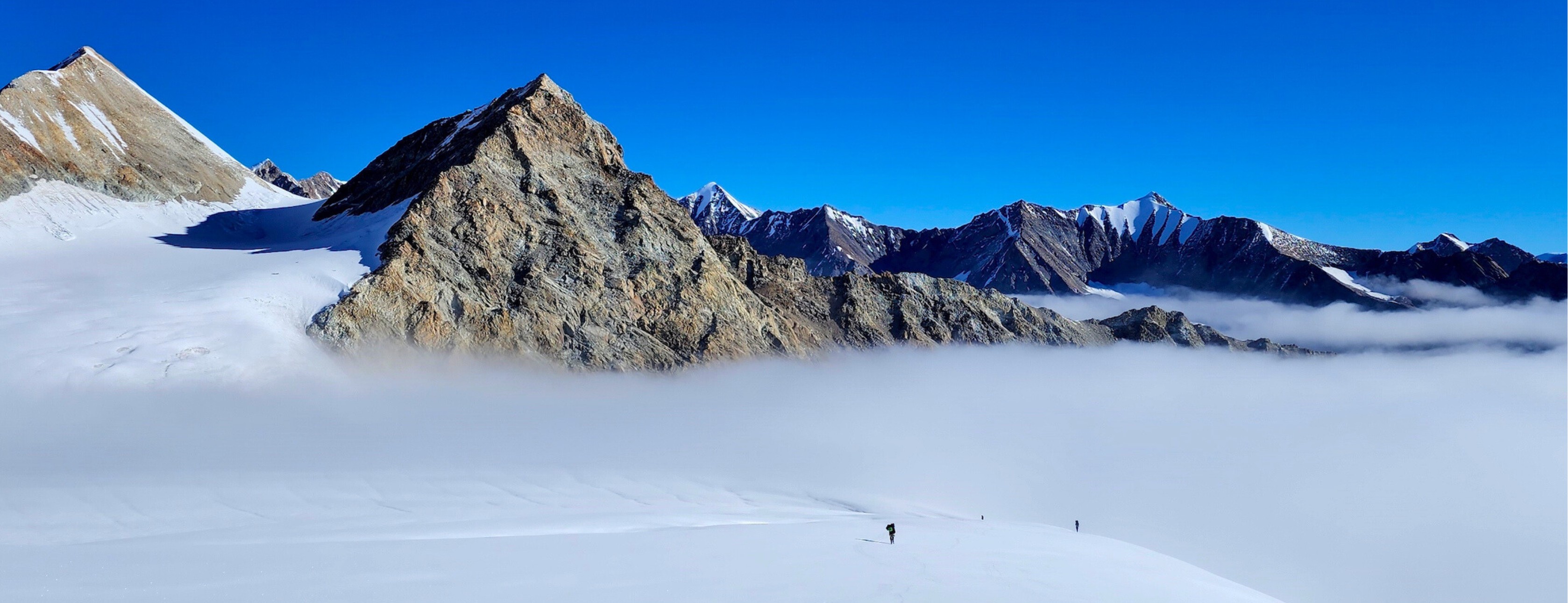
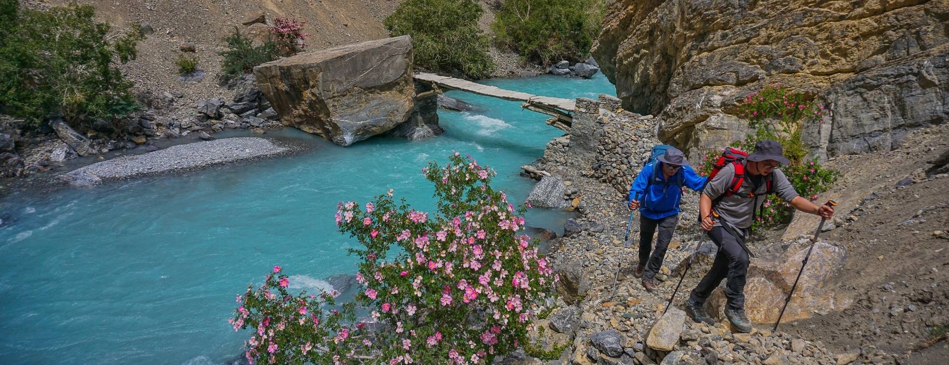
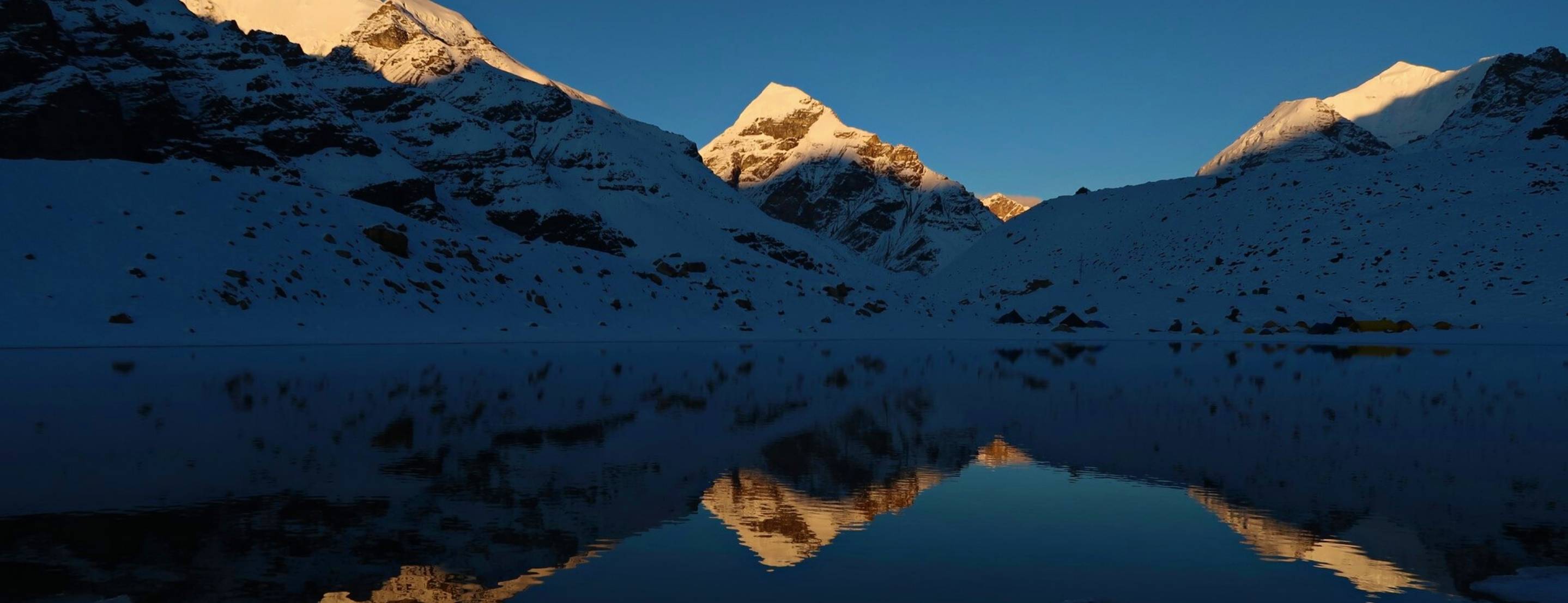
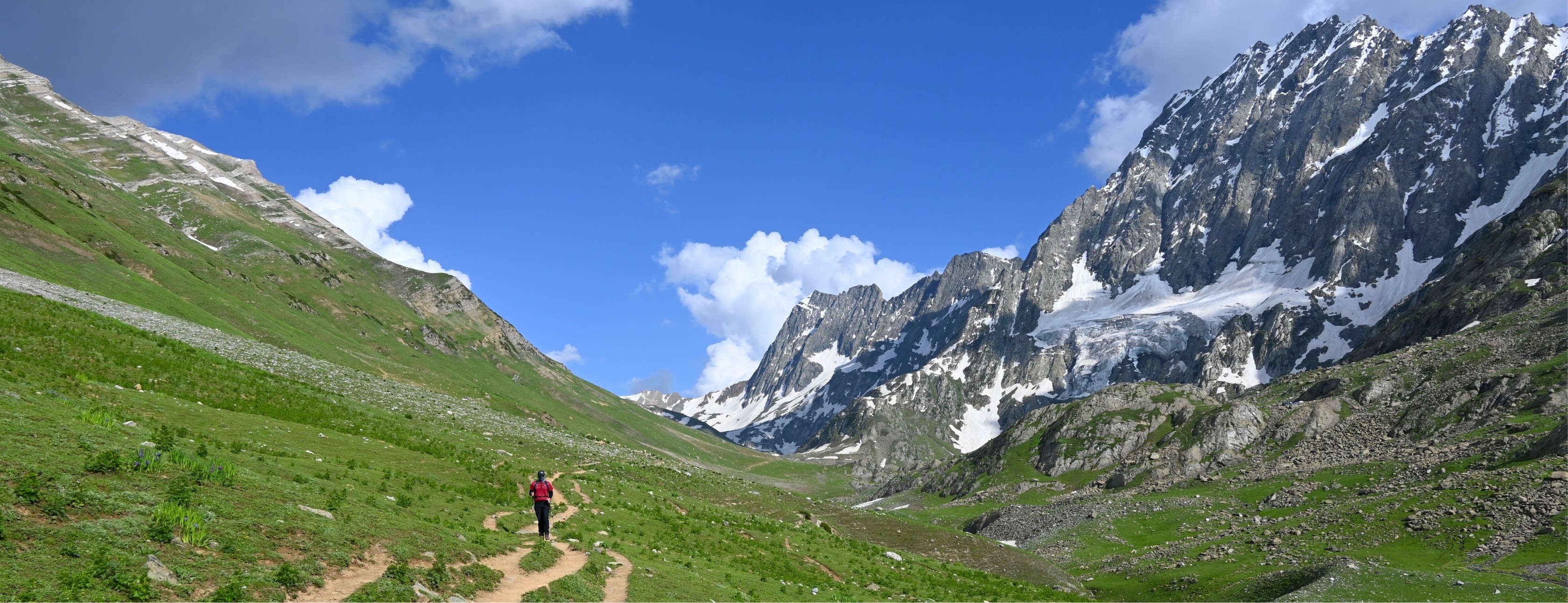
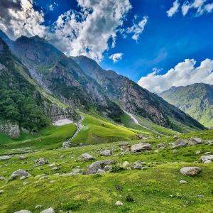
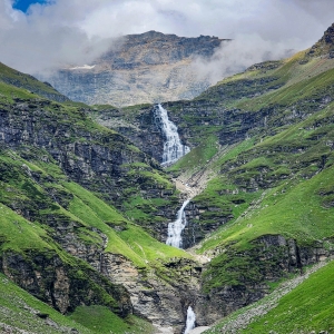
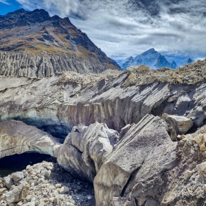
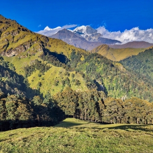
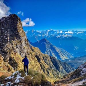
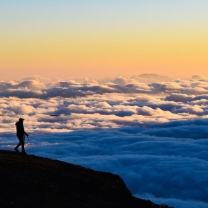
The Himalaya, the Aalaya (abode) of Hima (snow), the youngest and the highest mountain range in the world, is a geographical wonder of our planet. Running 2,400kms from west to east, the Himalaya’s horizontal expanse is as spectacular as its vertical heights. Thousands of eternally snow-capped peaks rise across this vast range, giving birth to innumerable rivers, which have nurtured civilisations for multiple millennia. The sheer diversity of terrain across the Himalaya captures the imagination of all travellers - from lush green river valleys in Kashmir to the rugged cold-desert of Ladakh, from pristine alpine meadows of Himachal Pradesh to the expansive glaciers of Uttarakhand, from the dense Devdhar forests to knife-ridges of lofty peaks, there is something new, something unique at every turn. The conception of the Great Himalayan Trail (GHT) springs from a desire to explore such various facets of the Himalaya, not merely in terms of gaining altitude but to experience every kind of terrain that the range has to offer. The GHT takes you across the breath of the Himalaya over 177 days, through multiple high-passes that connect different regions. In short, the GHT is a grand horizontal traverse of this incredible vertical phenomenon called the Himalaya.
What makes GHT India special -
While the Himalaya is spread over seven countries in the sub-continent, it is India which is home to a large portion of range. The Indian Himalaya is blessed with a bit of everything that the range has to offer. Kashmir is home to the Pir Panjal range, while Ladakh is at the intersection of the Karakoram range and the Tibetan plateau, giving us a glimpse of both. The relatively low Dauladhar range meets the main Himalayan range in Himachal Pradesh, the Garhwal & Kumaon ranges are home to iconic peaks and high passes while Sikkim is blessed with rare flora and fauna. Also, it is in the Indian Himalaya where the Ganga, the most important river of the region originates. Beyond the geographical diversity, the people and cultures that one gets to interact with while traversing the Indian Himalaya is what makes it truly special. From Buddhist monks in ancient monasteries to ascetics in the holiest of Hindu shrines, from Muslim bakharwals tribes to Gaddi nomadic tribes, from exotic apple farmers to simple folk in remote agrarian villages, you get to meet and learn from these intriguing people who call the Himalaya their home.
Why you should embark on this journey
‘An experience of a lifetime’ is a cliched phrase nowadays, but if there is anything that personifies such an expression, it is the GHT. If you are someone who is fascinated by the Himalaya, are inexplicably smitten, then GHT is something that can satisfy your curiosity. This is a journey you must undertake not just because you get to travel to beautiful places but for the richness of experience one earns on such a pursuit. You learn how flora and fauna adapt to various terrains, how the weather behaves in different valleys, and in turn how the mountains shape their local weather systems. You experience first-hand how people survive and thrive in desolate mountain slopes. You witness how glaciers move, how rivers cut through the mightiest of mountains and beyond all of this, you will know a lot more about yourself at the end of the trip!
To get a glimpse of the entire trip, view the photo album of our inaugural GHT-India 2023 here.
Participate
All of this sounds great, but how does one actually go about doing this? Here are your options -
One big trip: The first and the best option would be to do the whole trail in one go, which is how this should be done - one epic trek across the Indian Himalaya - it's what makes trekking the Great Himalayan Trail truly ‘great’.
Region-wise: We do understand that setting aside six months for this might be difficult for some, so we have marked the trail in such a way that you can pick one or two regions per year, say Kashmir and Ladakh to start, then Spiti and Kinnaur in the next year, and so on. This way, you can complete the whole trail over a few years. (This option is subject to certain conditions, get in touch if you're interested)
Note: We are looking for participants who have extensive trekking / climbing experience in the Himalaya and are willing to do the full 177-Day traverse in one go. Considering that there are innumerable variables, uncertainities and challenges in such undertakings, we are looking for individuals who are open minded, flexible and bring with them a positive attitude.
Regions
The Great Himalayan Trail travels from valleys formed by the tributaries of Indus River to the tributaries of the Ganga - two major rivers where every stream originating from the Himalaya eventually join. The GHT traverses this vast geographical expanse, passing through the regions of Kashmir, Ladakh, Spiti Valley, Kinnaur Valley, Garhwal, Kumaon and Sikkim in the Indian Himalaya. Each region and their river valleys have something that you do not find anywhere else in the Himalaya, making the Indian GHT truly special.
KASHMIR
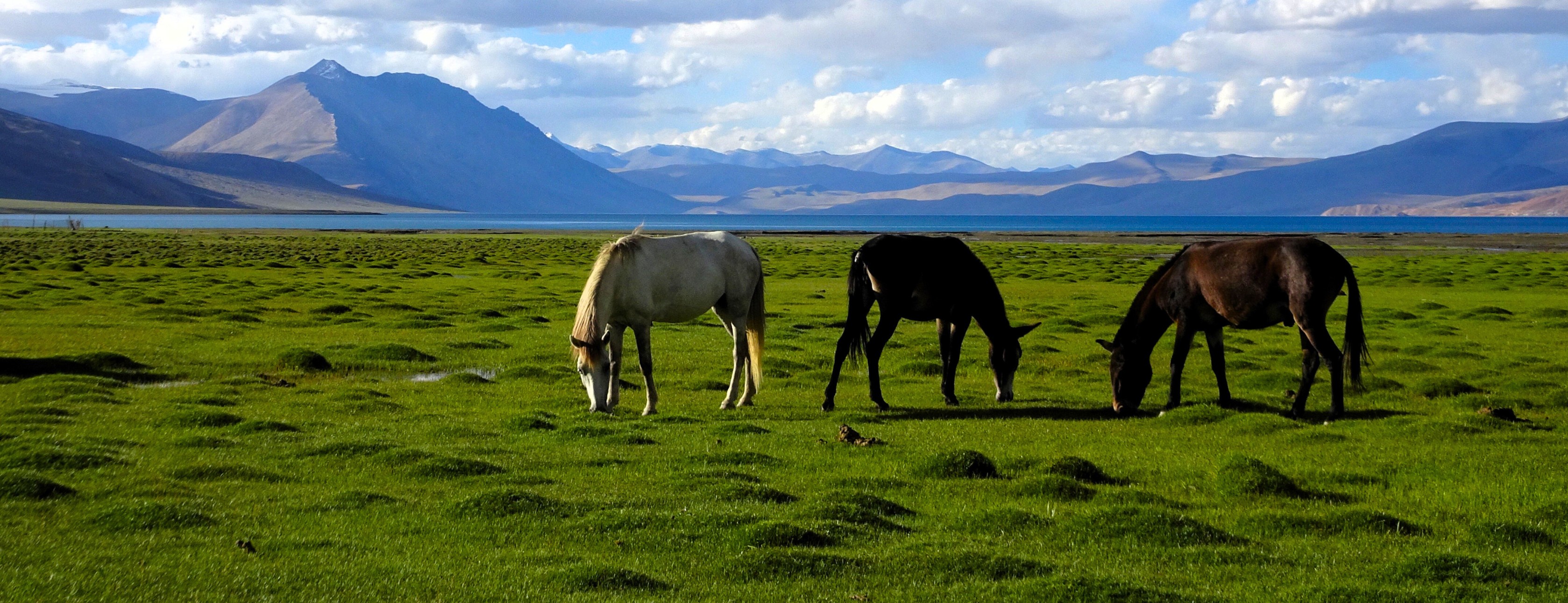
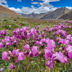
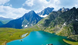
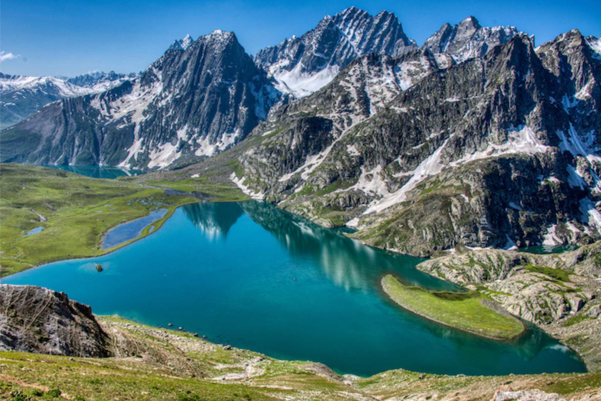
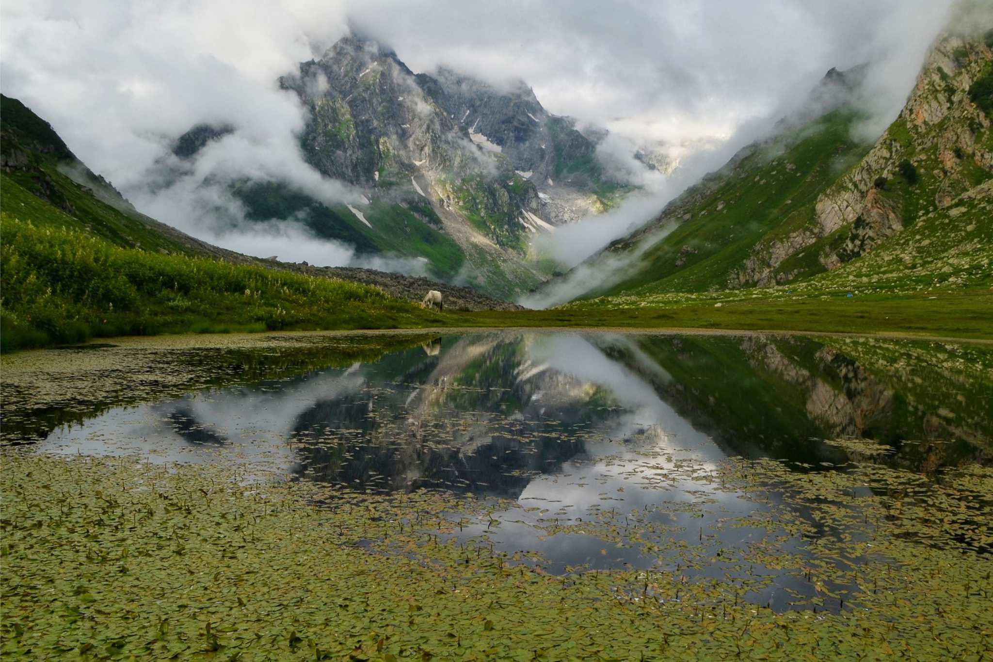
A region that has attracted scholars, saints, aestheticians and travelers from across the world for as long as history has been documented, Kashmir is the crown jewel of the Indian Himalaya. A sacred land between Pir Panjal range on the west and the central Himalayan range in the east, Kashmir is like a bowl, covered on all sides by snow-capped peaks. Home to pristine river valleys, lush green meadows and crystal clear lakes, Kashmir is every trekker’s delight.
LADAKH
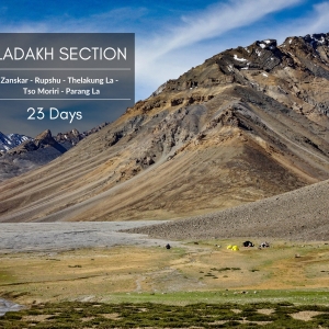
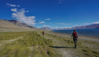
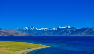
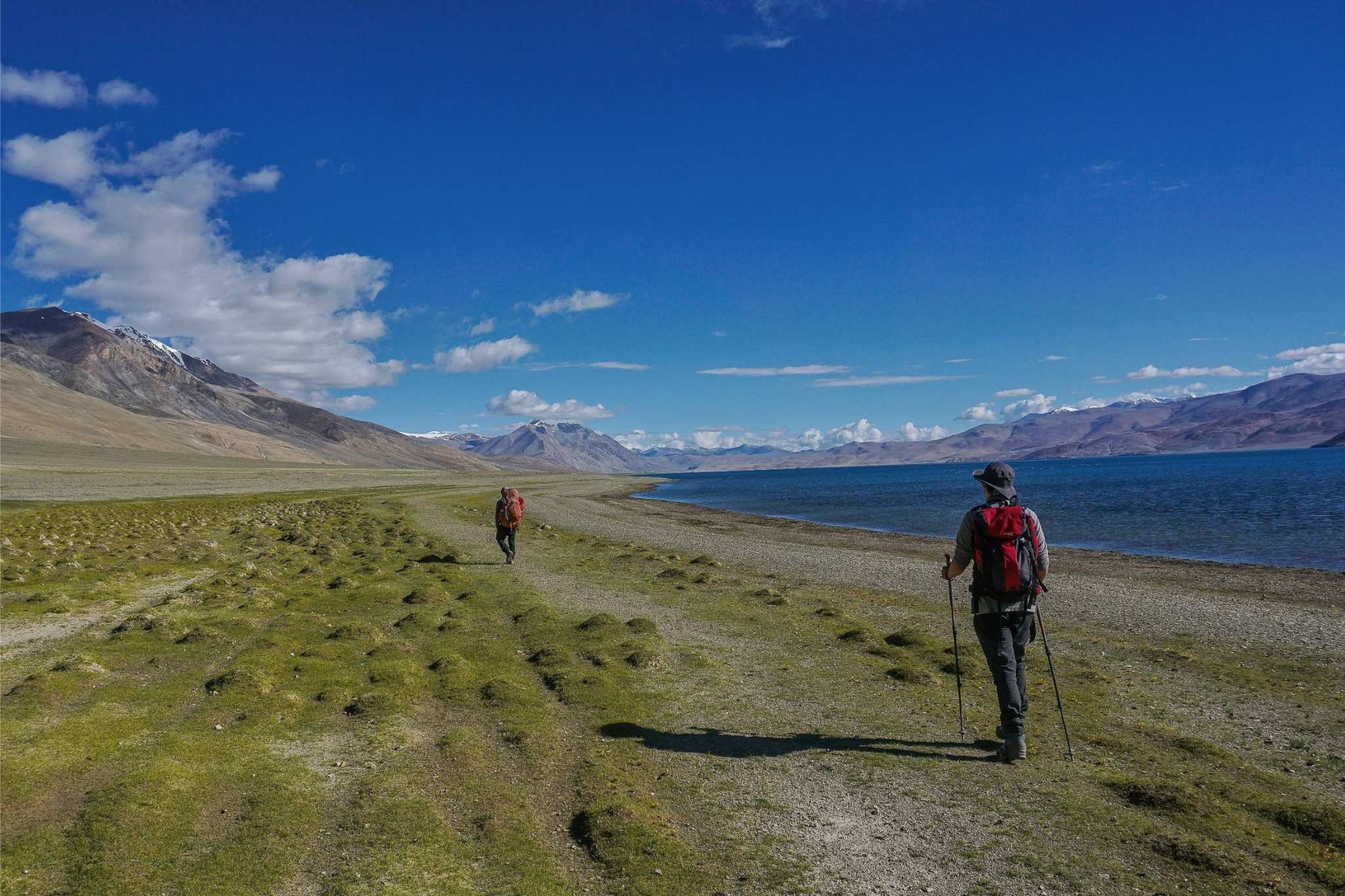
The original home of Tibetan Buddhism, the trans- Himalayan region of Ladakh is known for its monasteries and high-altitude passes. With the Kashmir valley in the west, Karakoram range in the north and Tibetan-plateau in the east, the cold desert of Ladakh is an extremely diverse region in terms of geography. The GHT takes you to the heart of Ladakh, with the trail that runs nearly parallel to the Indus River all the way till the Tibetan border near Tso Moriri.
SPITI VALLEY
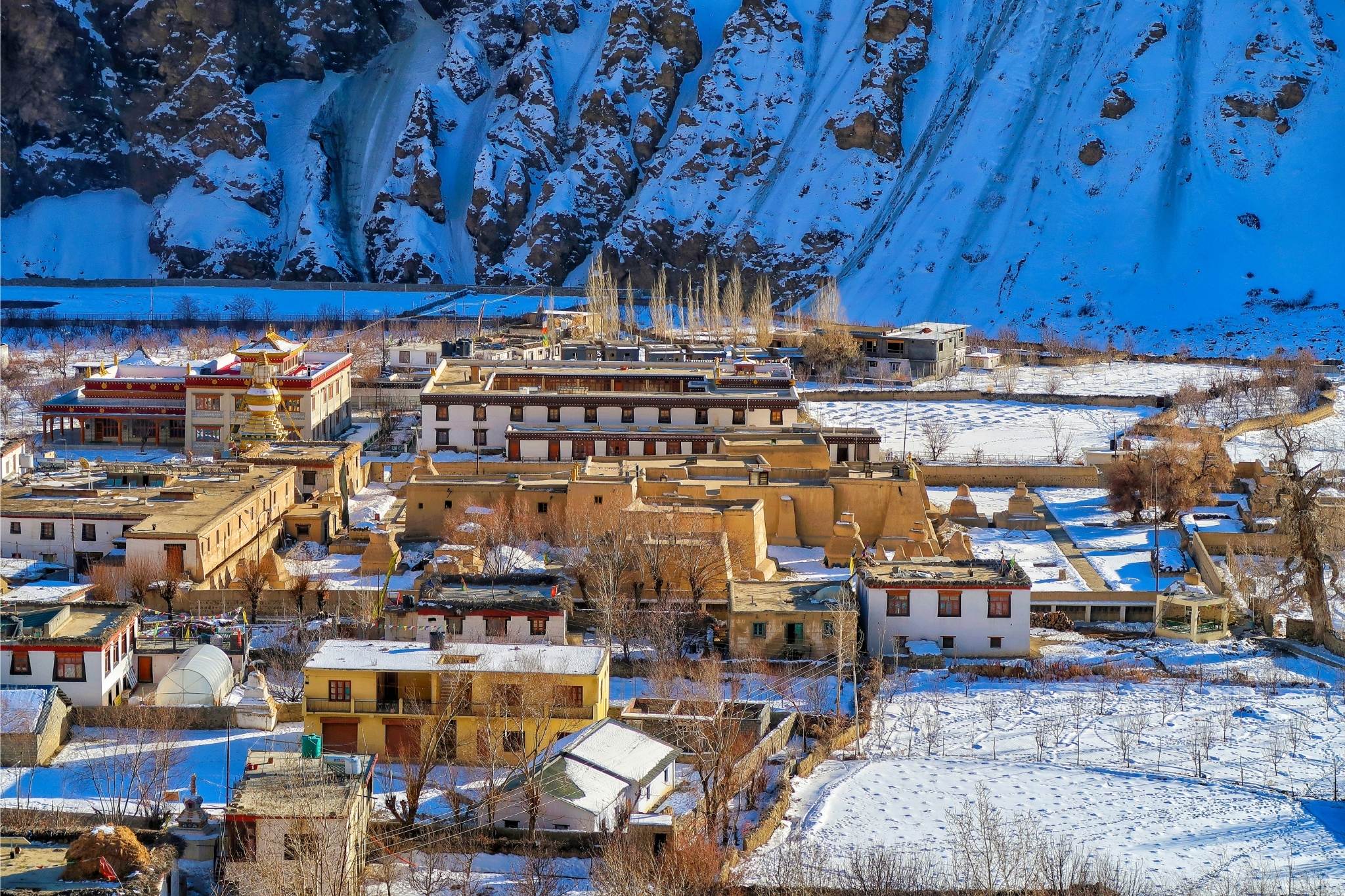
An extension of Ladakh in terms of weather and culture, but different in terms of terrain, mountains and villages are nestled along the narrow Spiti Valley. The GHT enters Spiti Valley in the north and diverts to follow the Pin river, one of the major tributaries of Spiti. The Pin Valley is dotted by many tiny villages and monasteries which continue to preserve many ancient Buddhist traditions unique to their region.
KINNAUR
A valley formed by the Sutlej river, once an important trade route between India and Tibet, the region is now known for its idyllic villages with apple orchards, overlooking snow-capped Himalayan peaks. Kinnaur is also home to many communities who travel to mountain slopes with their animals in search of grassy meadows. The GHT goes through multiple such trails which were once the trade route between valleys.
GARHWAL
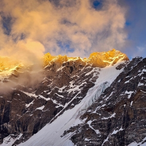
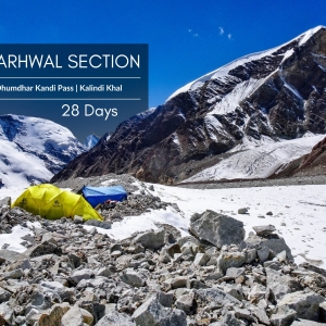
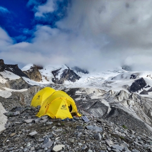
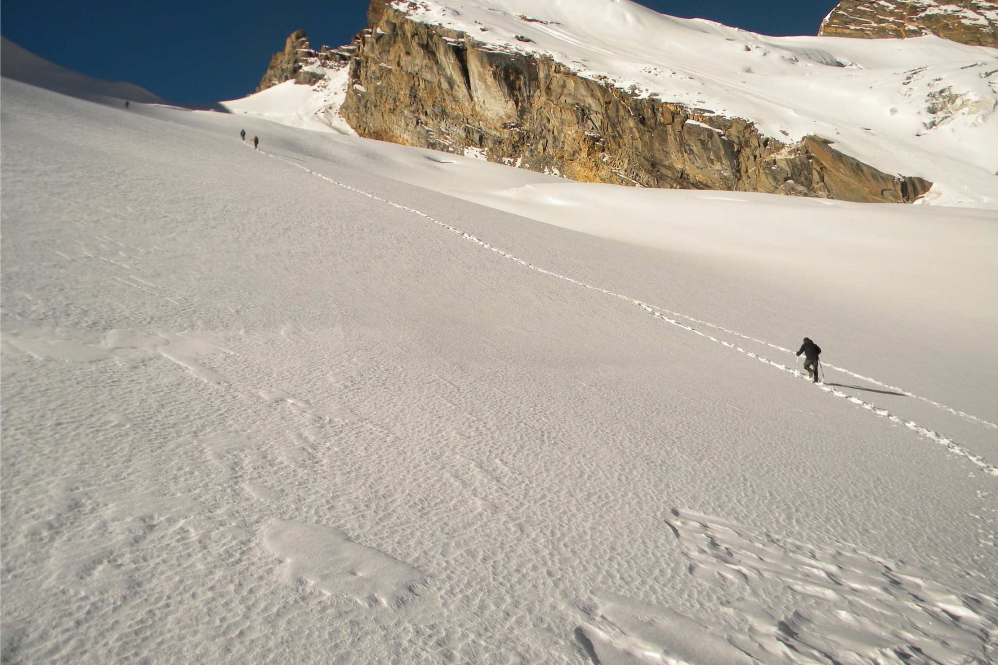
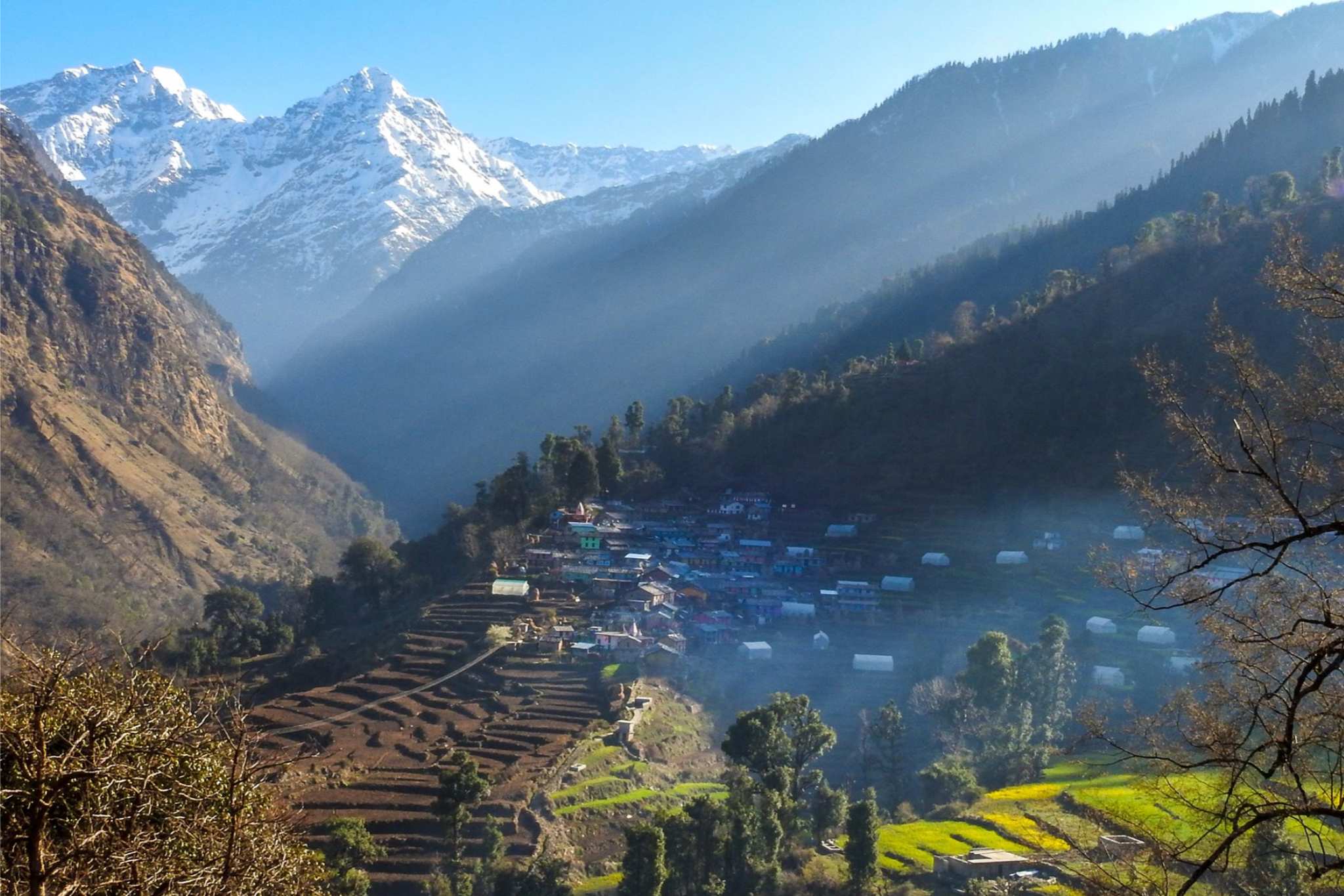
Home to iconic peaks and passes that have drawn the bravest of explorers from across the world, it would not be wrong to call Garhwal the heart of the Indian Himalaya. Expansive glaciers at the foot of Himalayan peaks feed the sacred rivers of Ganga and Yamuna. The region is called ‘Deva-bhumi’ - sacred land belonging to the Gods, as the holiest of Indian pilgrimage sites are located high up in Garhwal’s mountains. The GHT trail connects two iconic shrines of Garhwal, albeit over challenging glaciated passes over 5000m.
KUMAON
Also known as Kurmanchal in Indian literary history, Kumaon is a neighbour of Garhwal, bordering Nepal on the west. The region is known for its forested rolling hills, whose ridges make for great viewpoints to witness the Himalayan peaks to the east of the great Nanda Devi massif. A region rich in flora and fauna, Kumaon is famous among birding and wildlife enthusiasts as one gets to spot many rare species which are native to the Himalaya.
SIKKIM
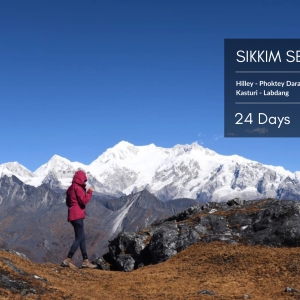
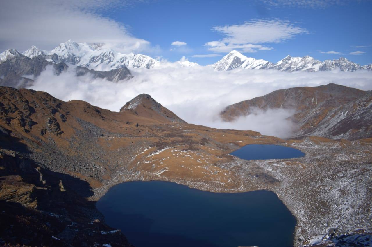
The home of Kangchendzonga, the third highest mountain in the world, Sikkim is a small yet beautiful part of the Indian Himalaya. Situated between Bhutan and Nepal in the west and east respectively, Sikkim is known for its rich flora and fauna, where numerous species of birds, tress and animals native to the Himalaya are still thriving.
Itinerary
The itinerary published here should be treated as a mostly accurate representation of what the GHT is. Considering the length of the trip and vastness of the geography covered, there is always a chance that we tinker the itinerary on the go, staying true to the larger goal of traversing the Indian Himalaya.
Route Map
FAQs
The GHT entails walking on inclined terrain for over 150-160 days and naturally demands high standards of physical stamina and endurance. That said, mental fitness is as much or more important than the physical dimension - you need to be motivated, determined and be able to endure long, hard days multiple times over the course of the expedition.
The altitude range of the trail would be between 2000m-6000m. These being the extreme points, the average altitude of the trail would range between 3500-4500m and much of your walking days would be within that altitude range.
We expect interested participants to have undertaken more than two multi-week Himalayan treks that take you above 5000m on glaciated terrain. Please get in touch to discuss your experience with our guiding team. Your eventual participation is subject to our team’s assessment.
A typical day on the trail would involve walking for 6-7 hours, depending on altitude and condition of the trail to be navigated on a particular day. This would translate into 10-12kms of walking on mountain terrain. These are just the averages that are approximated. Every day on the trail is different and conditions are dynamic, with longer days easily going above 10 hours/15kms .
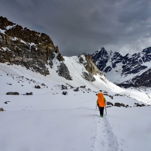
While we do not attempt to climb any peaks on the GHT, there are multiple pass crossings, especially in the Garhwal Himalayan section, which are very similar to climbing a Himalayan peak. These would involve roping up with team mates while crossing glaciated terrain, rappelling down steep sections and overall being comfortable climbing with crampons on boots. These are basic mountain skills required only in certain sections and hence we do not expect you to have any intensive mountaineering training to attempt the GHT but previous experience of being on glacial terrain is necessary.
Depending on the nature of the trail, we will either have pack animals or porters to carry all group gear, camping and cooking essentials. This means you would need to carry only a day pack on most days. The only exception to this would be on sections of the trail where we use High altitude porters (HAPs), when you would be expected to carry a bit more than usual in your daypack.
We have carefully designed the itinerary keeping in mind the length of the expeditions and hence rest and acclimatisation days are factored in. One can expect to have a rest day every 10-12 days in addtion to the days reserved for acclimatisation.
The rest days are also generally used to resupply essential stocks, which means we are closer to areas where there is connectivity. With the massive expansion of telecom and internet services in India, at times we also get connectivity a couple of days after starting off from a rest point. So, on an average you can expect to have connectivity for roughly 30 days of the whole trip. This One needs to be prepared to be away from network for over 15 in certain sections.
Please get in touch with us to discuss your options as our offerings might differ each year.

